I spent yesterday visiting Manitoulin Island once again. This time, I wanted to visit the most westerly parts of the island...Meldrum Bay. I left at 6:30 am and got back at almost 9 pm.
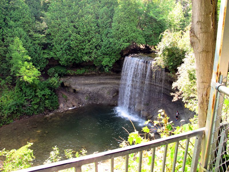
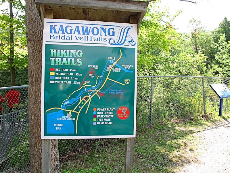
So this meant that I took highway 540 right to Meldrum Bay. Along the way, there were a few special places to visit. The most scenic spot I have found yet is at Kagawong. I might even go so far as to say this place is beautiful.
http://www.manitoulintourism.com/portfolio/kagawong/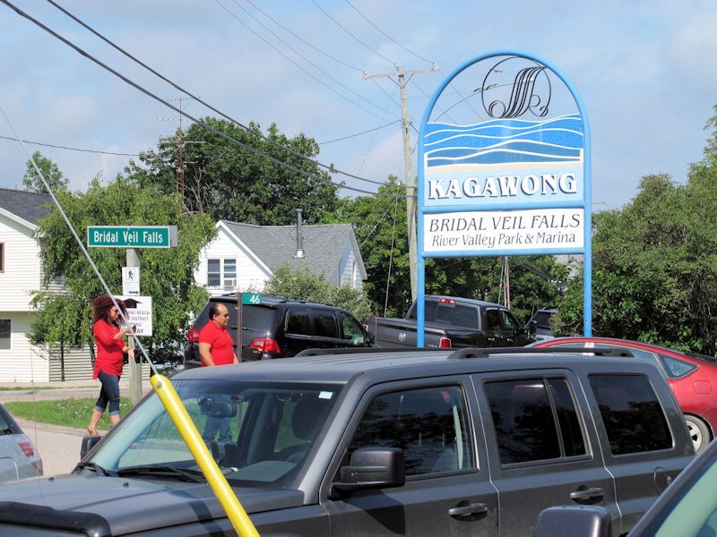
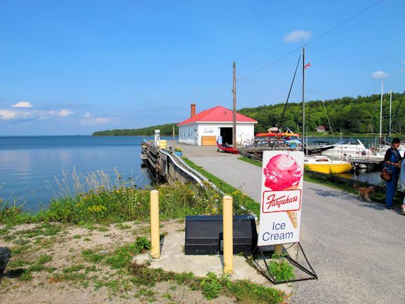
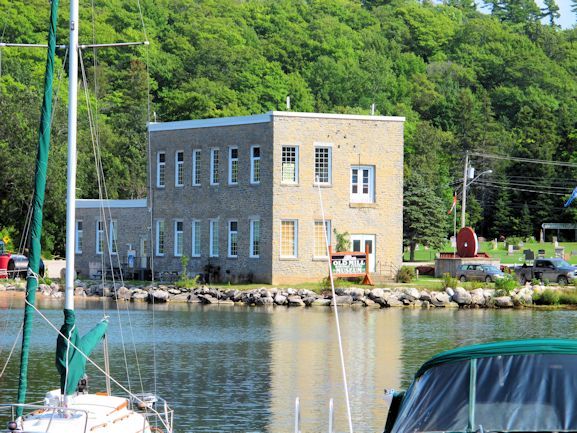
Next stop was Gore Bay.
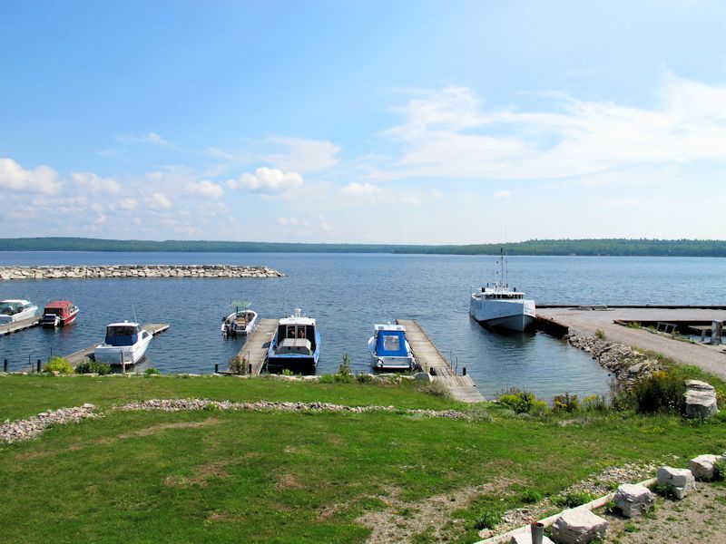
http://www.manitoulintourism.com/portfolio/gore-bay/Another beautiful place, albeit not as picturesque as Kagawong. Another beautiful marina, only much larger. The marina building was of interesting architecture.
Across from the bay is a scenic lookout. I was up there but didn't take any photos. However, I did take one from Gore Bay proper across the waters. If you look closely, you can just see a few folks up there.
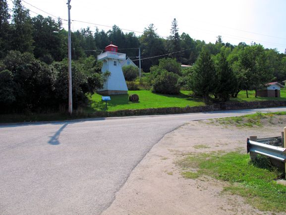
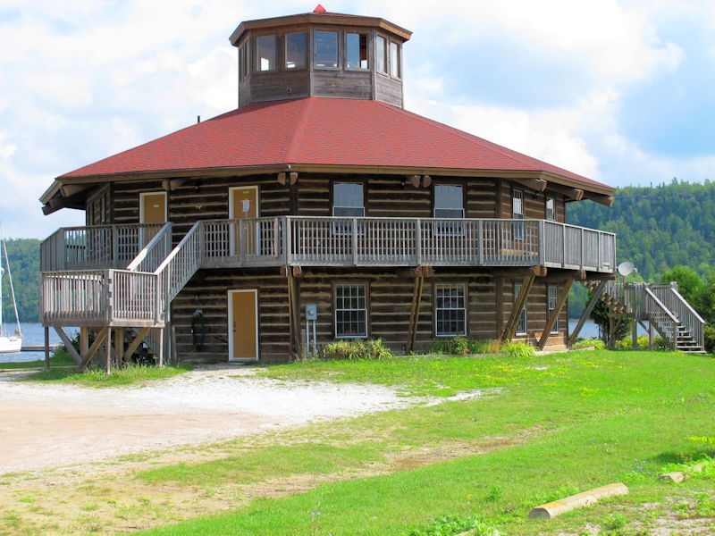
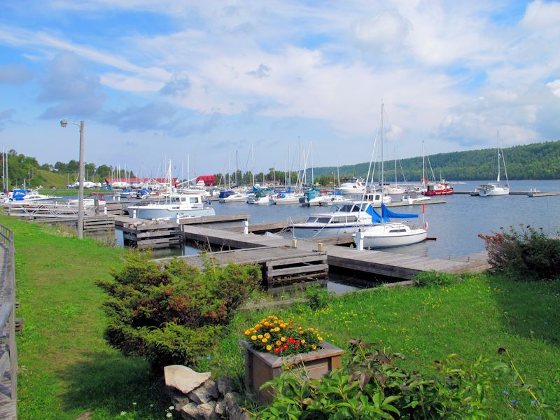
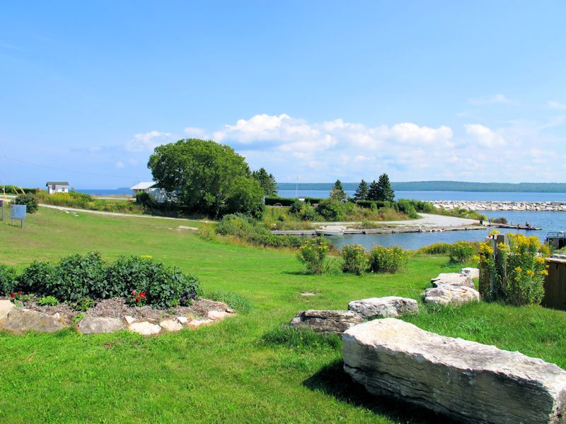
Next stop is Meldrum Bay. This very small community sort of clings to the western tip of Manitoulin Island. Another beautiful place.
http://www.manitoulintourism.com/portfolio/meldrum-bay/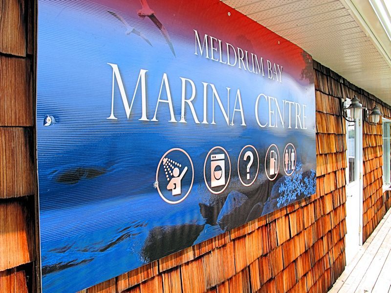

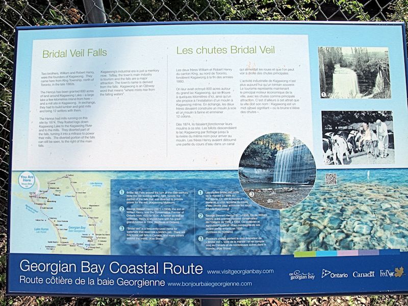
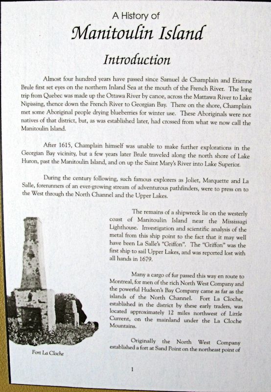
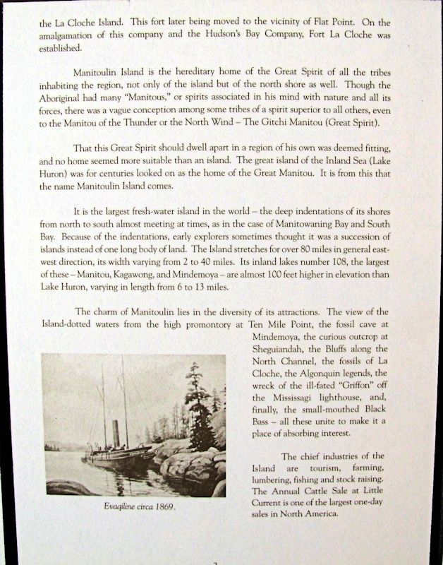
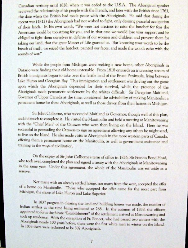
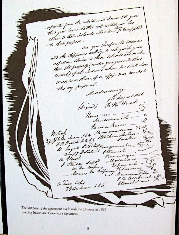
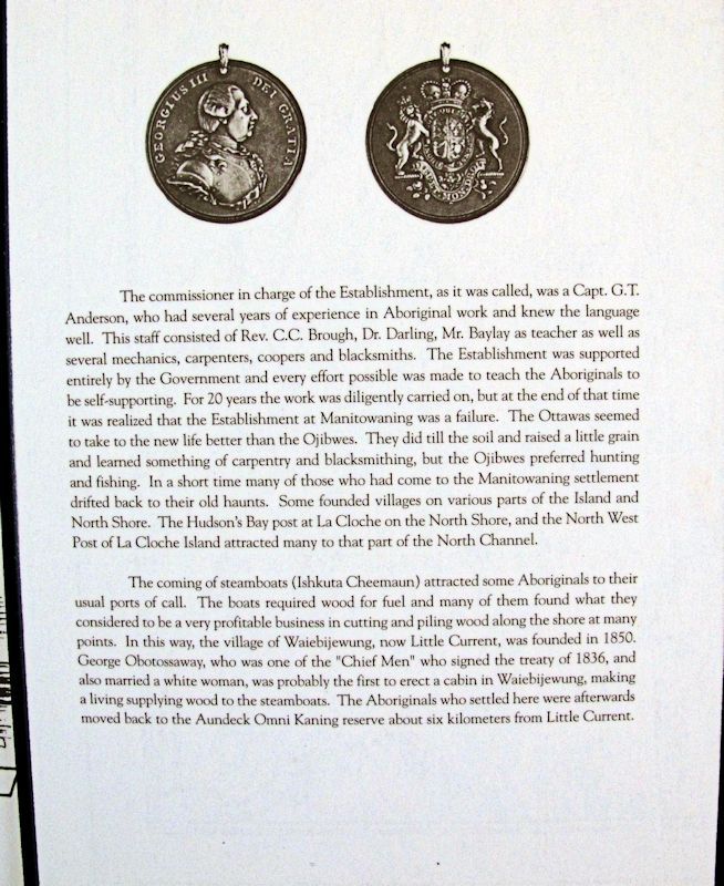
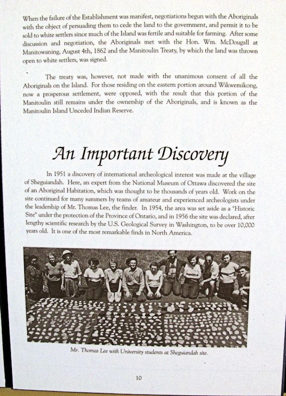
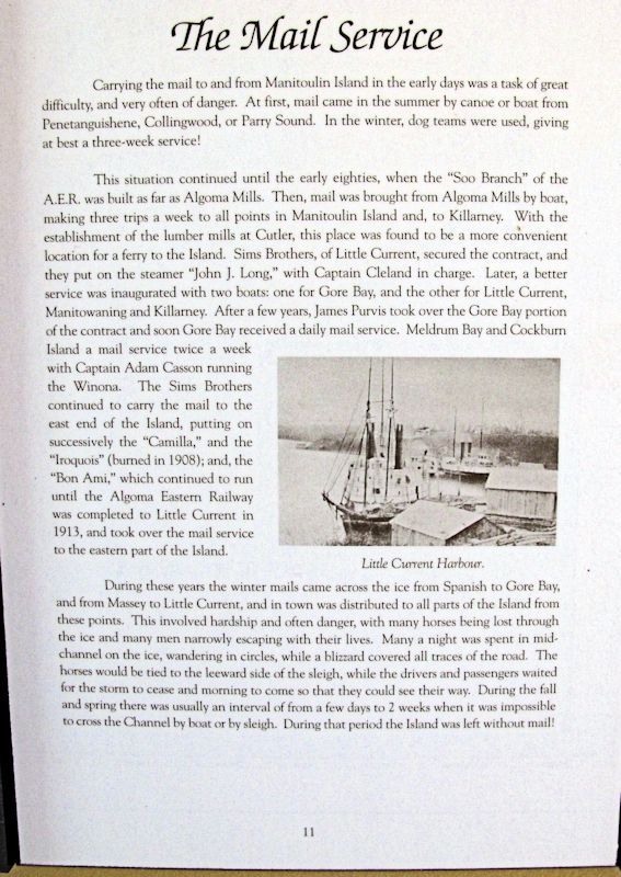
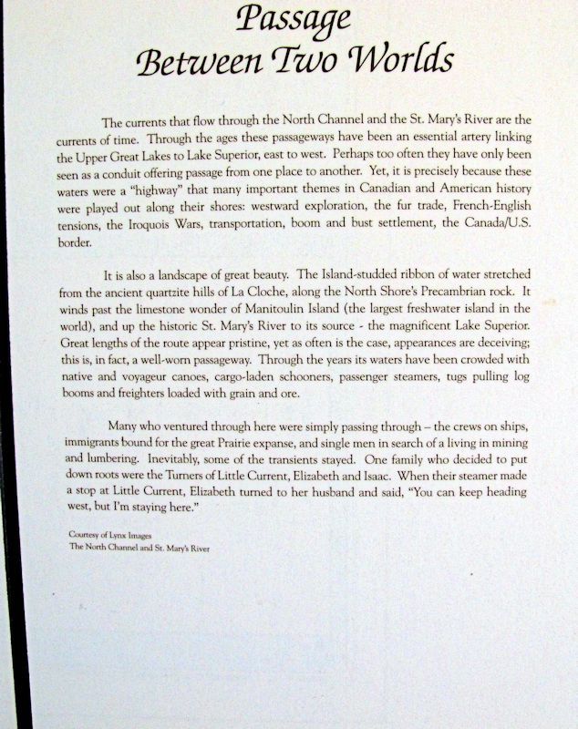
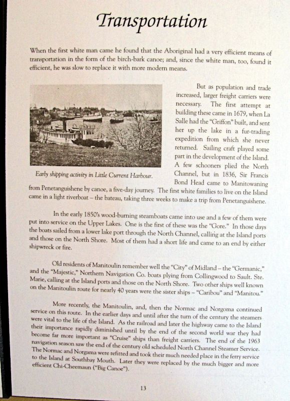
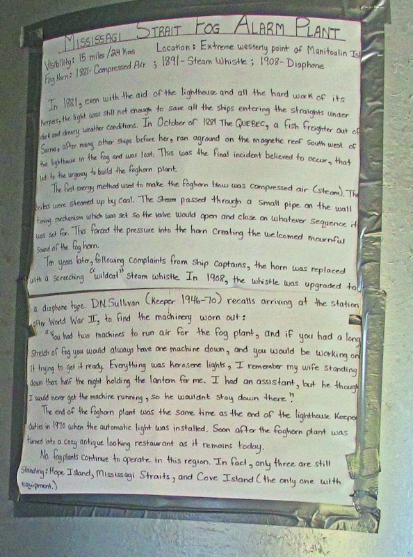
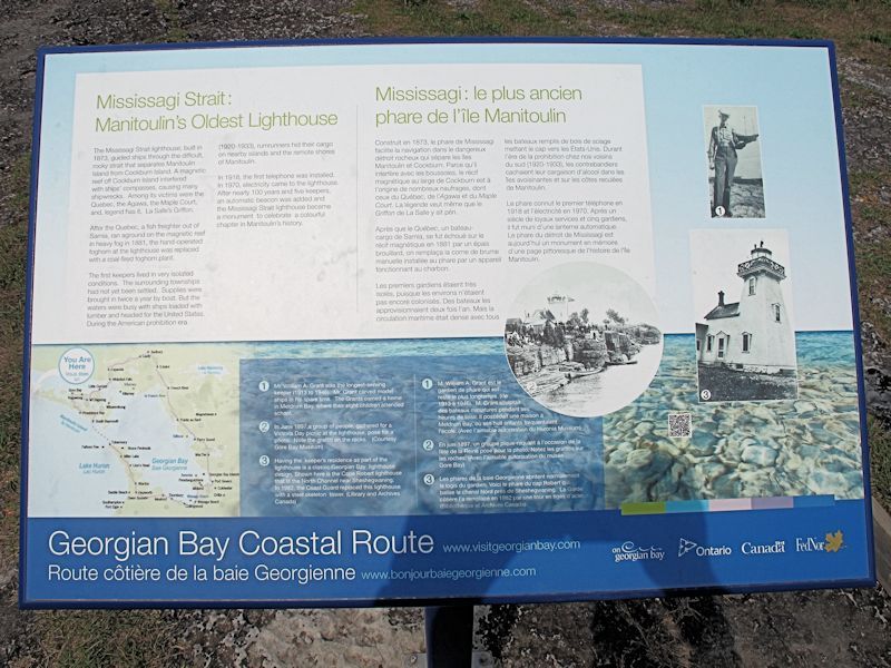
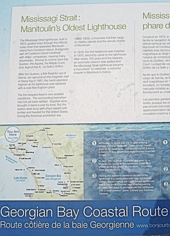
Inside the marina building were a set of historical plaques. I took a photo of each to share with you. I figure the info on there is more accurate and better told than anything I could say.
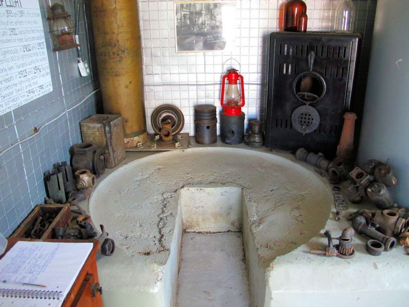
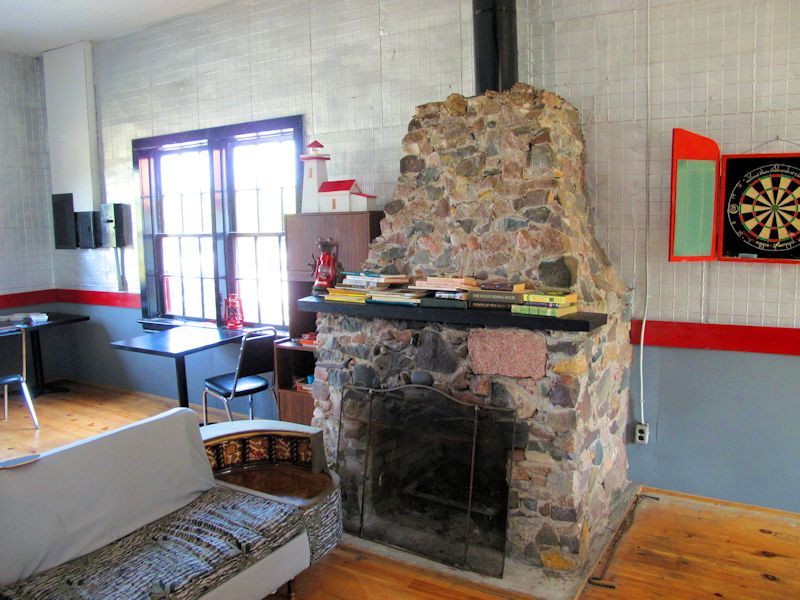
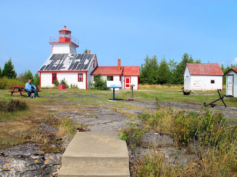
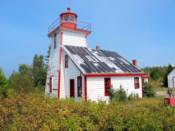
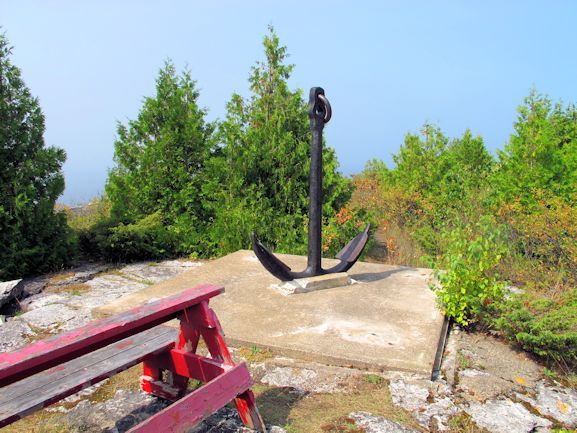
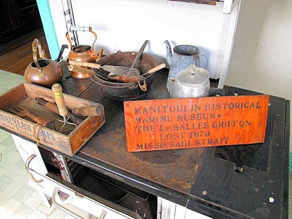
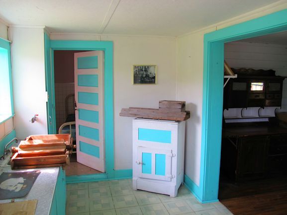
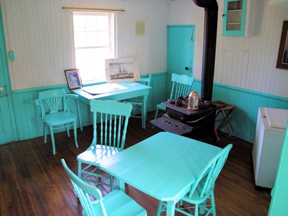
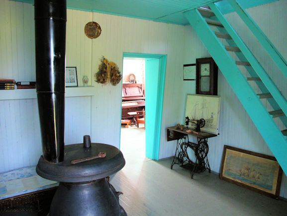
Well after visiting Meldrum Bay, I noted a sign stating lighthouse museum. I had thought Meldrum Bay was the most westerly on the island... I was wrong. After driving around a large Lafarge Quarry complex in a winding dirt road for around 6 to 8 km, I arrived at my destination. Now I can say I was at the most westerly spot on the island proper.
http://www.manitoulintourism.com/portfolio/mississagi-straits-lighthouse-museum-campground/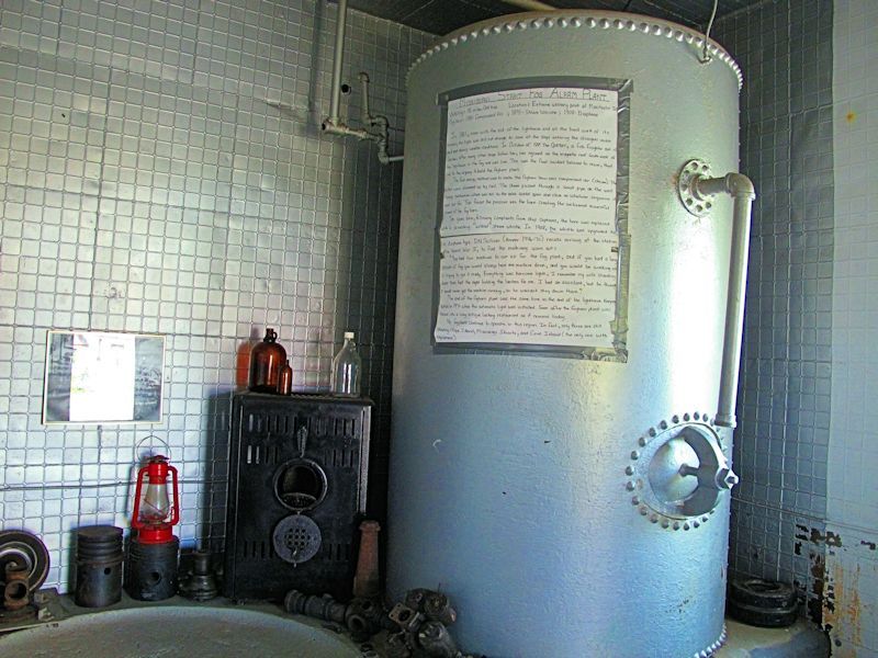
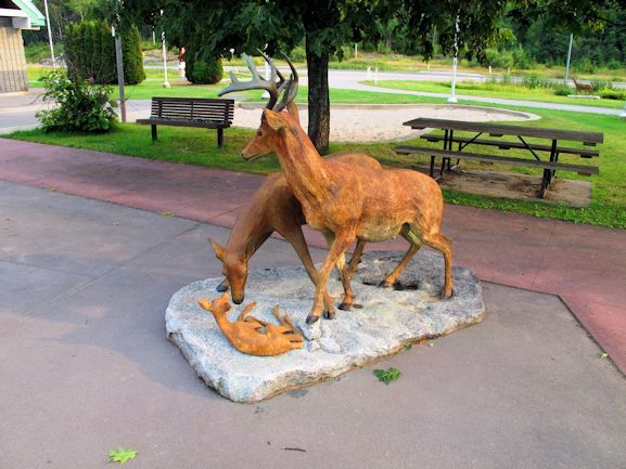
On the way back, I stopped at the Elliot Lake turnoff on the Trans Canada Highway 17. This rest-stop at the turnoff has plenty of deer statues. I have to wonder come deer season, if anyone has ever taken a potshot at these during the night.