As I showed in the last thread
HERE I managed a bit of a marathon yesterday. According to my GPS readout:

It shows that the total distance traveled was 29.1kms, which for the non-metric people is just over 18 miles. It also shows that while moving we maintained an average of 5.0 km/hr, with a total of 5 hours and 50 minutes if paddling. There's a total of twelve minutes and 24 seconds of "break time" which also includes the time it took to set up my kayak, get into the water and set up the video camera, which to be honest, is probably the majority of the 12 minutes, as we didn't stop much on the way.
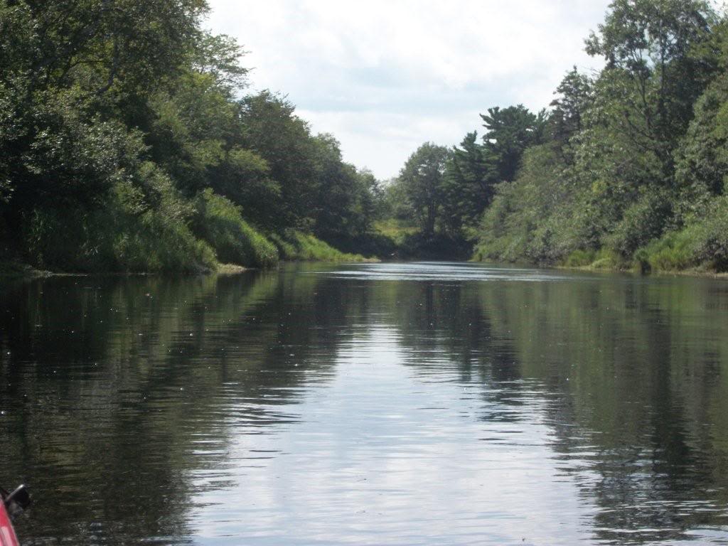
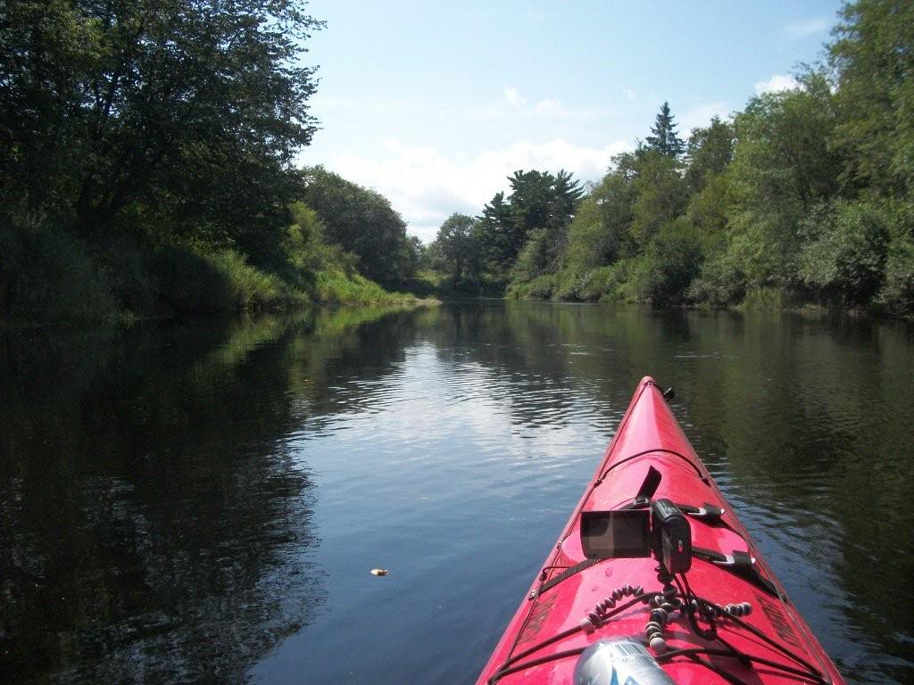
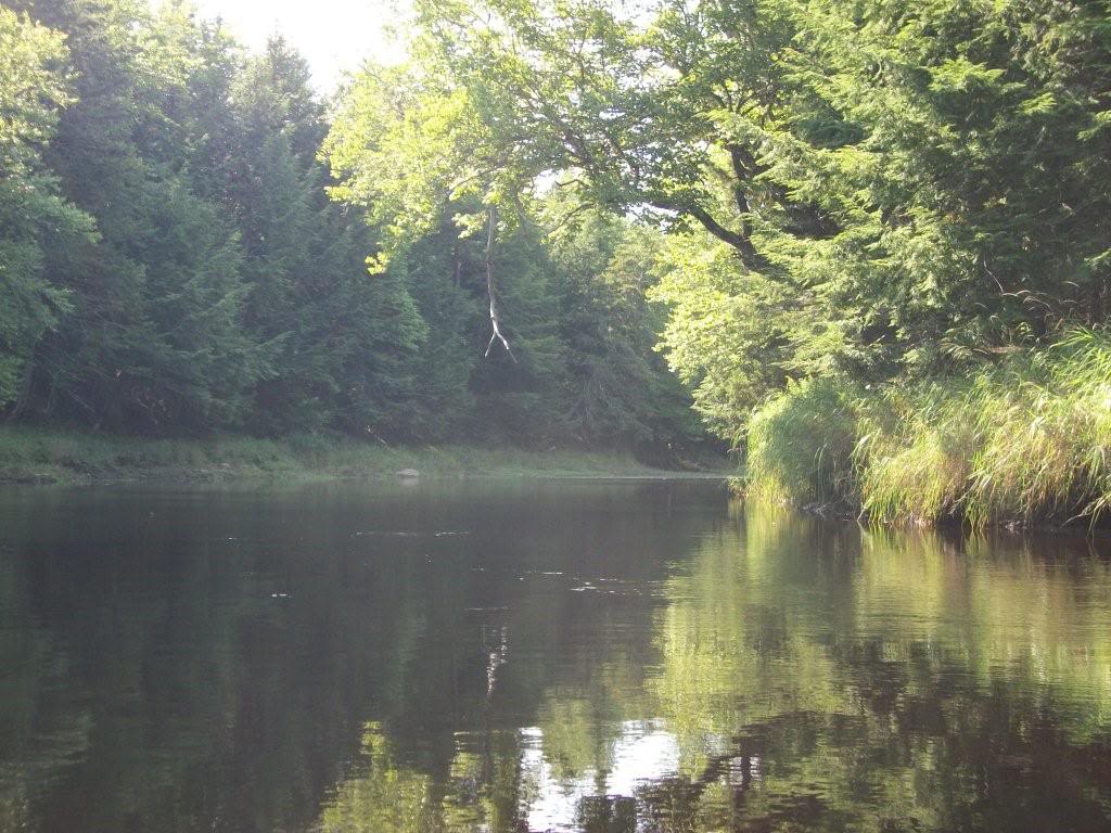
We did this on the Musquodoboit River, a long and winding river that leads across the province. By road, the route is just over 16kms:
We started in Elderbank and went almost down to Gibraltar Lake, and as you can see from the map. My GPS logs my actual distance traveled, so the river is almost twice as long as the road!
For the most part it was an uneventful trip, although we weren't prepared for such a long journey- we didn't expect it to be as grueling as it was, so we'd only brought 2 bottles of Gatorade each. Frank's were both gone by the 15km mark, and mine were finished at around 20. It would have also been nice to have brought some food along, but we didn't find anything decent in the convenience store we stopped in on the way.
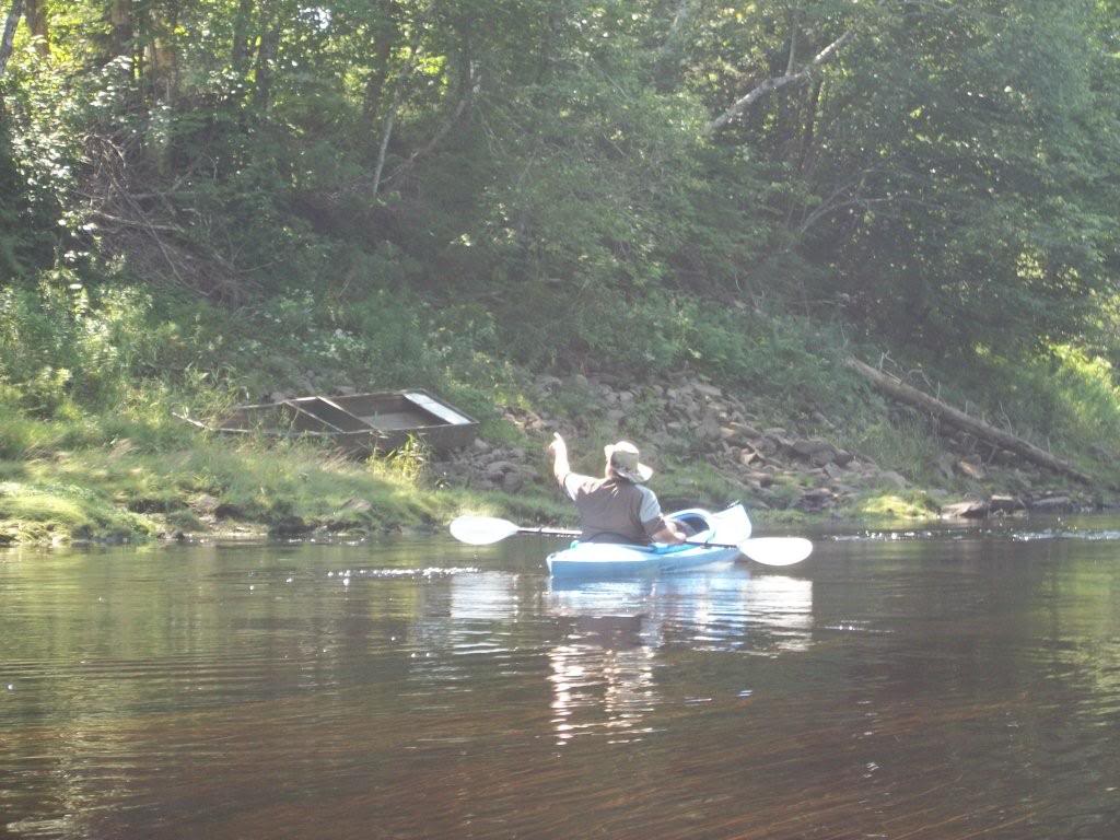
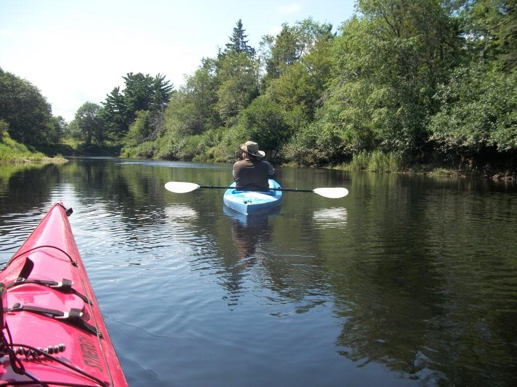
Had I been by myself I would have likely made better time, as Frank's boat is a tandem and so not really optimized for a single paddler. Basically it's much more stable than mine, but with only one person in it there's too much drag for any kind of significant speed.
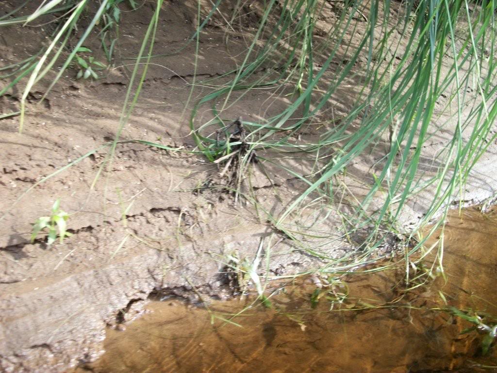
Still, it was a lot of fun, and there were as always, some interesting stuff to see, like the way the various water levels have cut ridges in the soil all around.
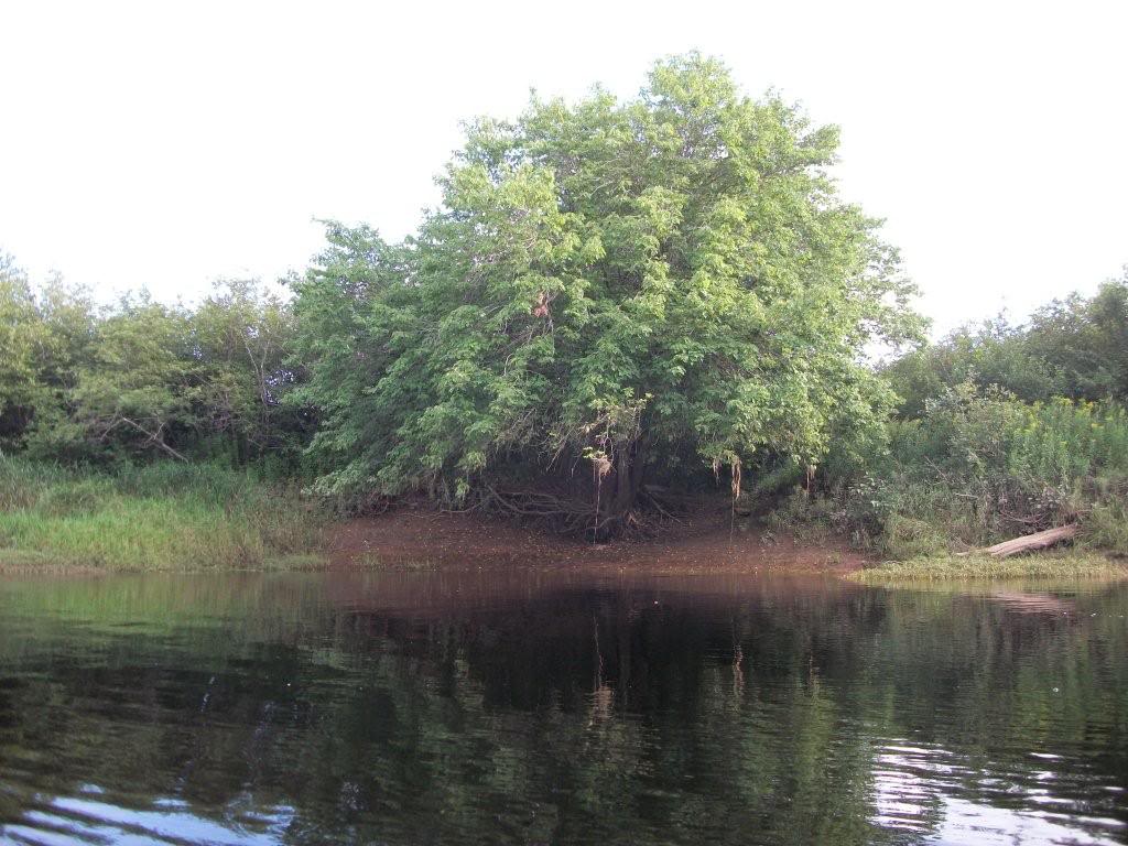
There was also one neat spot where we thought we'd taken a wrong turn and ended up in the Amazon!
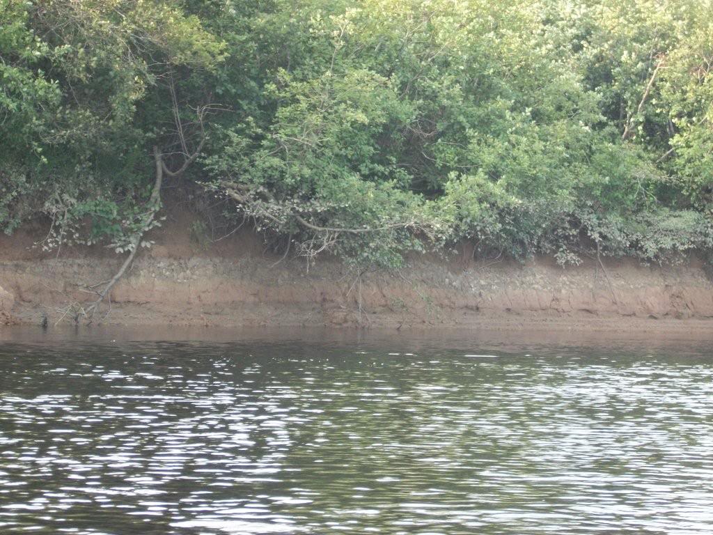
It's hard to see in the pics, but the pattern of erosion kind of looked like the designs in Mayan artwork. Trust me- while it doesn't look like much here, it was really neat in person!
"Musquodoboit" (pronounced Musk-o-daw-bit) apparently means "Beautiful Water" in the local native dialect and the pictures would seem to back that up. However, in our experience, we think it's named for the mosquito swarms that mercilessly bit into us at each and every opportunity.
All in all it was a long trip- we had no idea what we were in for, but we broke our previous record by a significant amount. I don't think I've ever broken 20kms in one outing before, let alone closing in on 30! At 22.2kms according to my GPS, if I could have given up I probably would have, as I was cramped, uncomfortable and tired, but there was no option to give up so we motored on. And on. And on!
The last 5kms or so Frank kept insisting that he knew where we were, and it was just around the next bend. We rounded many corners expecting to see my yellow Jeep waiting for us, but it never seemed to be! But, we eventually did find it, and before I even got out of the boat I had to snap the picture of my GPS screen and upload it here and on Facebook.
By the time I got home I realized the extent of the damage done to myself- the bug bites were becoming more and more noticeable, scratching them ignited new levels of pain as I discovered how badly I'd been sunburned and perhaps worst of all, the eight by two inch, swollen welt across my lower back where I hadn't realized my kayak seat was wearing away at my flesh.
This morning my shoulders are a bit stiff, but not too bad, and I am still tired as I try to get some nutrients and fluids back into my system. By the end of yesterday we said we were never bloody doing that again, although now we are already making plans to beat our previous record, and do it right!
Def